Want to carpool? Text Sam.
Trying to line up a ride, or have a question about the trip? Text Sam and we'll match people into carpools so nobody has to make the drive up on their own.
It doesn't really feel like Arizona
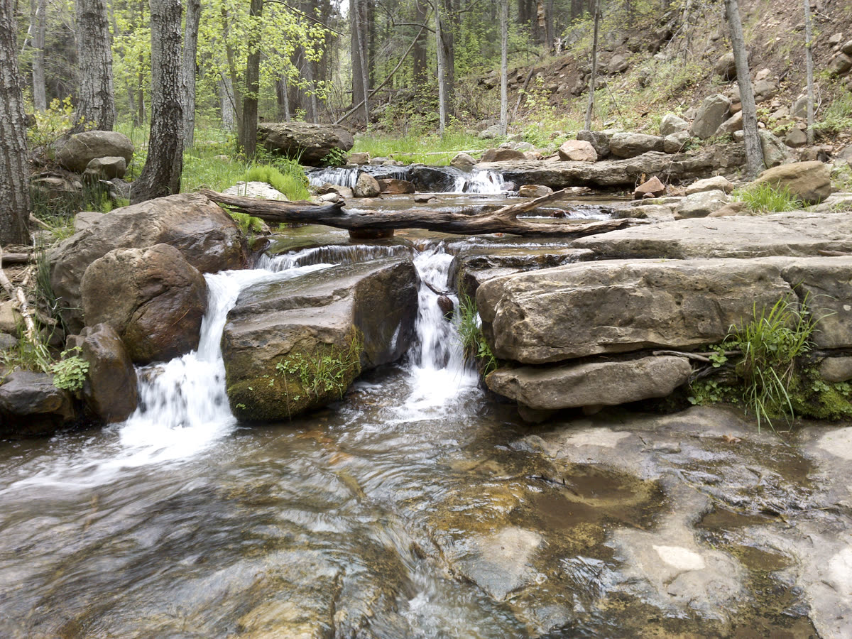
This stretch feels a lot more like the Pacific Northwest or Colorado. We walk in under a thick canopy of big Ponderosa pines and Douglas firs that block the sun out completely. It works like a natural air-conditioning corridor: deeply shaded, heavily forested, and wrapped in the sound of rushing water.
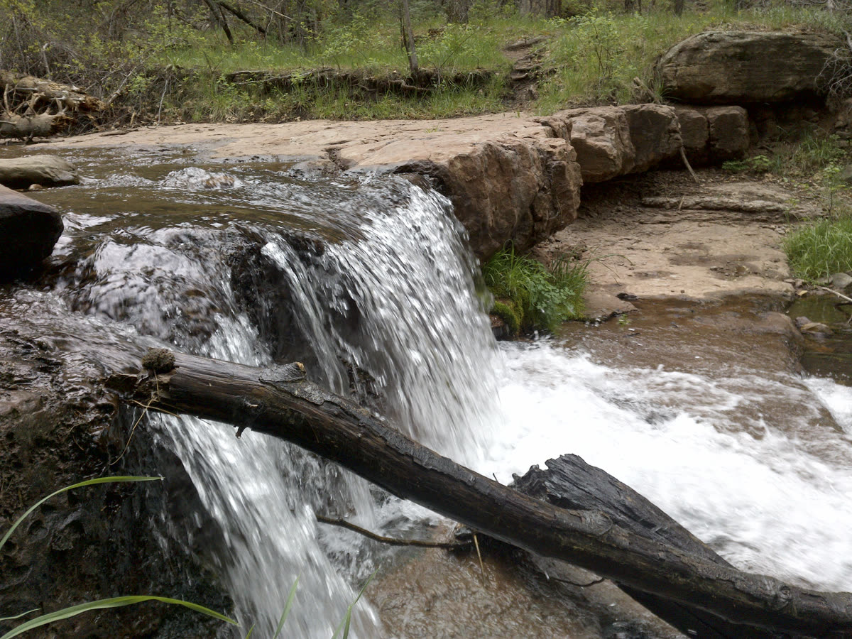
The trail runs right alongside a year-round, spring-fed creek. Instead of one big waterfall, the creek is packed with dozens of little cascades, dropping pools, and glassy, crystal-clear wading spots every fifty to a hundred yards. Take your pick.
No grueling trek required. The water is right there from step one. We can hike in an easy fifteen or twenty minutes, step off the path, and claim a totally private pocket of creek. There are big flat boulders and fallen logs right over the water, perfect for setting up camp chairs, throwing down a blanket, eating lunch, and lounging in the seventy-five-degree mountain air all afternoon.
בָּרוּךְ אַתָּה יְיָ אֱלֹהֵינוּ מֶלֶךְ הָעוֹלָם, עוֹשֶׂה מַעֲשֵׂה בְרֵאשִׁית
Baruch atah Adonai, Eloheinu melech ha'olam, oseh ma'aseh vereshit.
When the water first shows through the pines, there is a blessing for exactly this: the one we say on seeing wild, beautiful places, "who makes the works of creation." Say it if you like, or just take the second to look.
A genuine paradise for dogs
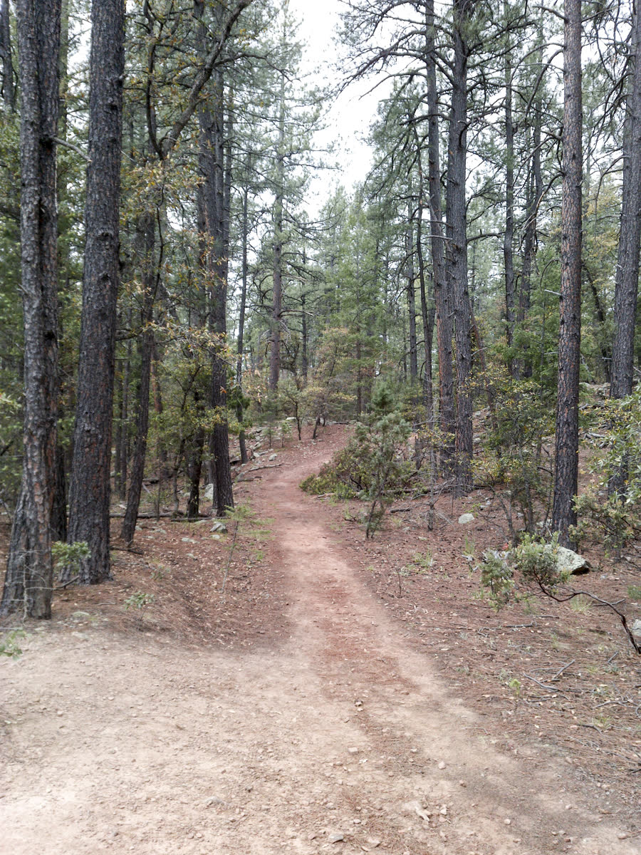
One hundred percent yes. The path is soft dirt and cool pine needles, which is gentle on their paws compared to hot valley pavement or exposed rock.
And because the creek tracks the trail the whole way, they can scramble down to splash around, cool their bellies, and drink fresh mountain water whenever they want.
The plan
- DriveAbout 1 to 2 hours from the Mesa / Tempe area, a straightforward run up Highway 87.
- CostFree. No parking pass and no state-park entry fee.
- DistanceAbout 6.4 miles round trip if you go all the way to Horton Springs, roughly three miles each way on a gentle uphill grade. Go as far as you feel like, see below.
- Parking detourThe Forest Service is rebuilding the bridge right at the main Horton trailhead, so that lot is closed for now. We park at the Derrick Trailhead just down the road, which is fully open, and take a short, pretty five-minute connector path that drops us straight onto the Horton Creek trail.
Make it an overnighter
Easy to stretch this into a camping weekend if there's interest.
Heads up: the two closest campgrounds, Upper and Lower Tonto Creek, are closed for the same bridge work. The move is Ponderosa Campground out on the 260 near Kohl's Ranch, open seasonally from April through October and reservable on recreation.gov a few days out. Christopher Creek is a solid backup if Ponderosa fills up.
Pack list
On your feet
Sturdy sneakers or hiking shoes for the trail. Bring water sandals or Chacos too if you want to wade into the pools.
In the pack
Plenty of water, lunch and snacks, a hat and sunscreen, and a light layer since it runs cooler up there than the valley. A camp chair or durable blanket to lounge by the cascades.
For the pups
Leash, a towel to dry them off before they pile back in the truck, and a few treats.
Count me in
Drop your info and we'll add you to the group thread with the date and the carpool plan.
Prefer to text? Sam is at (928) 699-3193